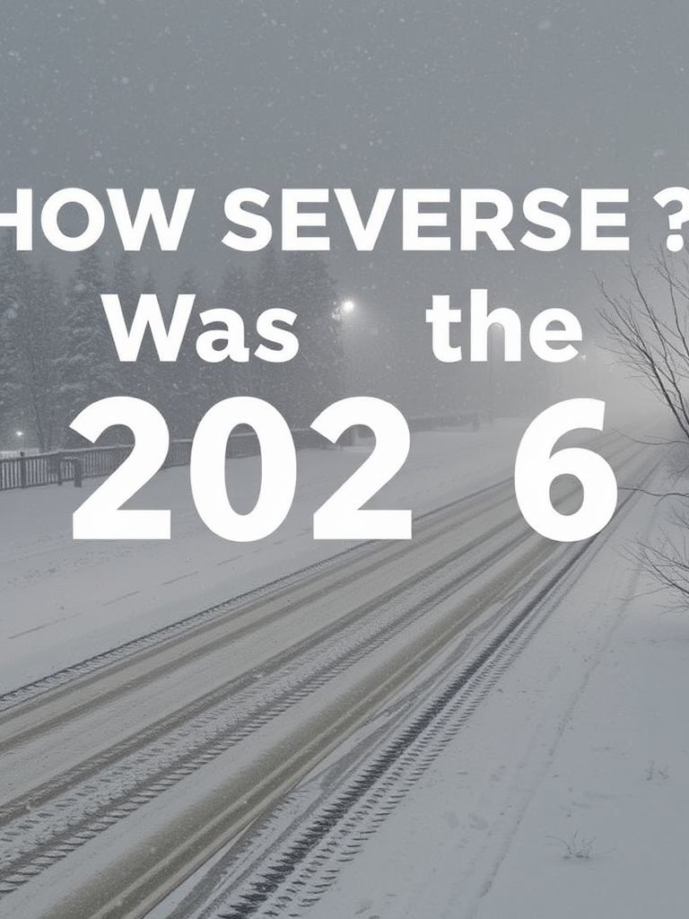
How Severe Was the 2026 Blizzard?
Key points
A 2026 blizzard dumped 5-6 inches of snow in New Jersey, causing major power outages, downed trees/wires, and hazardous roads, overwhelming emergency services.
Key takeaway
The live stream from Brick and Lakewood Townships, New Jersey, during the February 2026 blizzard documented rapidly deteriorating conditions with significant public safety impacts. Within hours, 5-6 inches of heavy, wet snow accumulated, leading to widespread power outages affecting thousands, numerous downed wires and trees, and hazardous travel. Key infrastructure, including a major Wawa store, failed. Emergency services were overwhelmed with calls for wires down, motor vehicle accidents (like at 36 and P Avenue at 1957), and medical emergencies (e.g., a 4-year-old pediatric unconscious call at 1958). The event underscored the vulnerability of infrastructure to extreme winter weather and the critical role of real-time public documentation and first responder coordination during such crises.
Live Report: The Blizzard of 2026
We are live from Brick Township, New Jersey, documenting a major winter storm—the blizzard of 2026. We already have about 5 to 6 inches of heavy, wet snow on the ground, and it continues to fall heavily. Conditions are deteriorating rapidly.
Power Outages and Infrastructure Stress
We are at a Wawa store where the power is out. The fire department responded earlier for a smoke scare after reports of power surging inside. The store is now closed, which is significant as these stores typically remain open. This indicates serious infrastructure stress.
There is a major power outage in Brick Township. I would estimate thousands of customers are without power. Traffic lights are out or caked with snow, barely visible, just a green glow. This creates dangerous driving conditions. We have observed multiple vehicles with issues, including one driving with no lights and another spinning out. A motor vehicle accident was reported at 36 and P Avenue at 1957.
Emergency Response Activity
Emergency radio traffic is constant. Calls have not stopped since we started streaming. We are hearing reports of wires down and sparking across various locations. For instance, at 1948, there was a report for 257 Avenue for smoking and sparking wires. At 1953, Station 45 was dispatched for wires down. A live wire and tension wire were reported down across ocean traffic, shutting down north and southbound lanes.
Medical emergencies are also occurring. At 1958, EMS was dispatched for a 4-year-old pediatric unconscious call on Cypress Neck Road. At 1959, there was a call for a 94-year-old female with jaundice on Meridian Circle.
Conditions in Lakewood, New Jersey
We are now in Lakewood, New Jersey, traveling on Route 88. Snowfall totals here are also around 5 to 6 inches, with some spots measuring 6 to 7 inches. The weight of the snow is causing trees and limbs to sag dangerously low, posing risks of falling ice and branches. Visibility is poor, about a quarter of a mile, with heavy winds creating blizzard conditions.
Power outages and downed wires continue to be a major issue. At 2032, Stage 45 was dispatched for a low hanging wire on Boulevard. The sheer weight of the snow on power lines is a primary cause.
Hazardous Travel Conditions
Driving remains extremely hazardous. Roads are slick with a layer of slush. Some state highways are plowed, but many secondary roads like Cedar Bridge Avenue in Lakewood are not, leading to treacherous travel. We almost slid off the road ourselves.
Public safety is the priority. Authorities are advising people to stay off the roads unless absolutely necessary. A travel ban is likely in effect. Many residents are wisely shoveling incrementally to manage the accumulation.
Major Incident Report
At 2046, a major incident occurred: a second alarm structure fire was reported at 725 Harbor Place, drawing a full response from Stations 23, 24, and 21.
Weather Forecast and Storm Context
The temperature is around 32 degrees Fahrenheit but feeling much colder with wind chill, and it is expected to drop further overnight. This storm, characterized as a bomb cyclone or nor'easter, is impacting the entire Northeast and Mid-Atlantic region, with our area on the shore being one of the hardest hit.
Continuing Coverage
We will continue to provide live updates as conditions evolve.
Frequently Asked Questions
Qany questions?
Please read the article carefully. If you have any questions, please contact [email protected].
Audio synthesized by Entity-Echo AI Agent