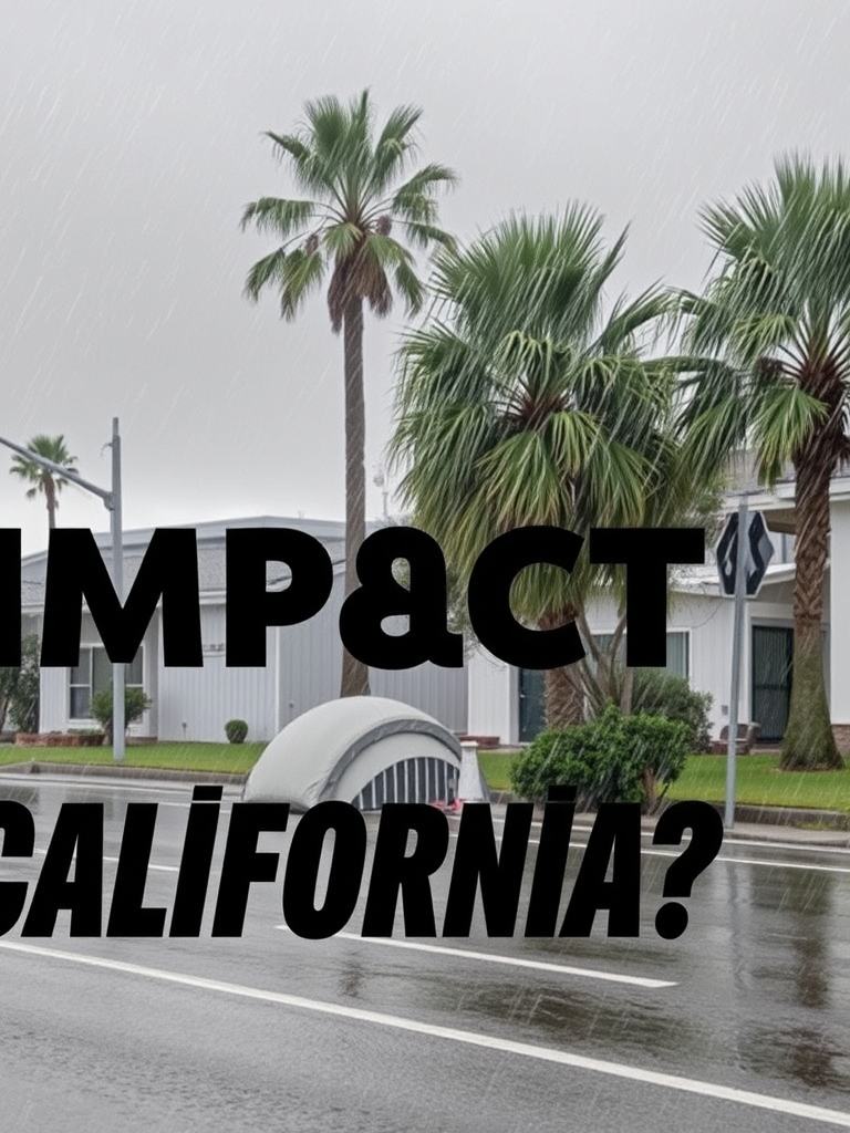
How Will Storms Impact California?
Key points
A multi-storm series brings needed rain and snow to California starting Feb 10, featuring pulsed precipitation, 5500-ft snow levels, and potential for several feet of Sierra snowpack accumulation through late February.
Key takeaway
A series of Pacific storm systems is set to bring significant, beneficial rainfall and snowfall to California over the coming weeks. Starting the afternoon of February 10th, the pattern features successive pulses of precipitation, rather than continuous downpours, allowing for better water management. Key impacts include winter storm warnings, potential blizzard conditions near Mammoth, snow levels around 5,500 feet, and wind gusts up to 50 mph. The systems, tapping subtropical moisture (a "Pineapple Express"), are forecast to deliver several inches of rain in the Bay Area and multiple feet of snow in the Sierra Nevada through late February, critically improving snowpack and rainfall averages without overwhelming flood control infrastructure.
Weather Update: February 10th
A series of weather systems is moving toward the West Coast, bringing much-needed precipitation. We start with watches, warnings, and advisories. Winter storm warnings are in effect, with potential blizzard conditions around Mammoth. The snow is critically needed, as the current snowpack is only about 40% of average. This storm series will bring rain and snow over the next week and possibly into the following week.
System Analysis and Impact
Looking at the latest model runs, a winter storm warning is in place, a significant event we haven't seen in a while. A purple area in the mountains indicates a winter weather watch. The system will first impact central California this afternoon. An observation map shows wind gusts up to 50 miles per hour offshore, with a buoy already registering gusts to 31 mph and earlier gusts to 35 mph. This indicates the storm has strength, sustaining at 20 knots and gusting higher before even reaching land.
Forecast Model Details
We use the HR rapid update model, which updates every hour, for day-to-day planning. The latest run shows dry conditions for the Bay Area, central California, and Santa Barbara this morning, with only potential drizzle or humidity. Rain will move into the Bay Area, including San Jose, this afternoon and tonight, impacting the evening commute. The system will spread north to Reading and Chico this evening and continue through Wednesday morning. A low-pressure system will linger from this afternoon through Wednesday, producing significant rain and, more importantly, significant snow.
Mountain Snowfall and Temperatures
As storms hit the mountains, the air mass rises and compresses against the tropopause, causing the system to slow and stall, leading to prolonged snowfall. For the mountains, this is a highly productive snow event, with potential accumulations of one, one and a half, or even two feet. Snow levels will be around 5,500 feet. This is not an exceptionally cold storm. For comparison, it's 22 degrees in New York City now, warming to 36 degrees today. Truckee is about 32 degrees now, reaching 51 degrees later.
Regional Impacts and Patterns
Southern California, like Venice Beach currently at 62 degrees and reaching 65 degrees, will also get rain by tonight. Lake Tahoe is under a winter storm warning, with a foot of snow likely. We have many models to review, showing this pattern of systems lasting. The low-latitude jet stream pattern will persist for several days into next week. This setup promises beneficial rainfall without a major atmospheric river component, meaning waves of rain followed by breaks, which allows for better water management.
Precipitation Totals and Air Quality
Rainfall totals are uncertain, but the Bay Area could see a few inches by next week, while the mountains may receive a couple more feet of snow, if not more. This will help our rainfall averages, but the snowfall is the primary target for improving water resources. Air quality in the Central Valley, currently showing purple on air quality maps, should clear out in the next couple of hours. Overall, air quality trends are improving.
Atmospheric Dynamics
The system features a notable moisture plume in Southern California and a lingering low-pressure system tapping subtropical air mass from the Hawaiian Islands, known as a Pineapple Express. It has significant rain potential. Examining the GFS model at 500 millibars shows the upper-atmosphere pattern around 18,000 feet, indicating the duration of this event. The jet stream is positioned favorably. This pattern shows unsettled weather through Thursday morning with on-and-off showers, especially for Southern California, a break on Friday, and another loading period Saturday morning.
Jet Stream and Event Timeline
The jet stream remains at a favorable lower latitude through today, tomorrow, and Thursday morning. A break comes Friday, followed by another productive system Saturday and Sunday. The right front quadrant of the trough is where the strongest dynamics are, making this a good pattern for Southern California precipitation. The pattern continues with similar systems projected for Wednesday the 18th and February 21st. February looks active based on these model runs.
Surface Conditions and Forecast Timeline
At the surface, sea-level pressure maps show isobars. The 540-thickness line roughly indicates a 5,000-foot snow level. Tightly packed black isobars indicate wind gradients. The wind gradient is currently strong and will change as the low approaches. The timeline shows rain today, tonight, tomorrow morning, and tomorrow afternoon, with significant mountain precipitation. A break occurs Thursday night into Friday, followed by the Saturday event, another on Sunday afternoon, and another on Tuesday morning.
Pattern Favorability and Rainfall Accumulation
The pattern seems favorable because the jet stream is pitched toward lower latitudes, typical for this time of year. 24-hour rainfall accumulation models show pulses of rain due to the behavior of the low-pressure systems, featuring cold fronts and spinning energy behind them. Pulses are shown for tonight, the next 24 hours, a break Friday into Saturday, another pulse by Sunday morning with significant numbers, and more rain thereafter. This wave-like pattern is manageable for California's infrastructure.
Snow Accumulation and Geographic Context
If verified, models suggest significant snow accumulation in the Sierra over the next few weeks. Rainfall accumulation maps show the footprint, with some blue areas indicating potential for up to seven inches of rain. Using a rough conversion, that could relate to several feet of snow by the end of February. Locations like Mount Shasta, currently around 52 degrees, will see lower snow levels and significant snow. The beauty of this analysis is that you, the audience, are formulating your own ideas by diving deep into the models, becoming self-sufficient in understanding your environment.
Connecting to the Natural World
Engaging with the weather in this way connects you to the natural world. My background in physical geography, more than my meteorology degree, constantly informs this understanding—concepts like lifting, Venturi effects, and barrier effects are rooted in local geography. You likely understand these intuitively based on where you live. Current conditions: Crescent City has rain attempts; a creek near Los Molinos looks interesting; Mount Tamalpais looks good; San Francisco is calm. Palisades Tahoe will get snow and is known for client safety. Owens Valley shows the system approaching from the mid-latitudes, not the north.
Storm Characteristics and Historical Reflection
This storm has a personality, tapping subtropical moisture, which could even spawn thunderstorms in the Central Valley. The coast near Vandenberg shows clouds building. The Grapevine area looks impressive. After the models, we appreciate the art and soul of these landscapes, reflecting on California history, from Native Americans to settlers like my ancestor who raised horses for Leland Stanford. Pomona, named for the Roman goddess of fruit, was home to the LA County Fair and land donated by W.K. Kellogg for Cal Poly Pomona.
Local Observations and Final Notes
San Clemente looks wet; Southern California may see rain sooner. Forecast highs are cooler today and tomorrow. A wind advisory is in effect. Satellite loops show a very active Pacific. The East Coast has cold warnings, but the West Coast will have an active week. Surf will stay big and potentially hazardous, like at Ocean Beach with 6-8 foot waves. Pacifica offers a view of Mount Tamalpais. Leadbetter Beach in Santa Barbara, Mount Shasta, Heavenly Valley at 26 degrees, and Mammoth Mountain at 30 degrees are all preparing for snow. The Pebble Beach Golf Tournament will likely see its customary rain.
A final note on a surfing image from Santa Cruz, highlighting the power and skill required to navigate such conditions, in contrast to a recent unfortunate incident. The key takeaway is an on-again, off-again precipitation pattern starting late this afternoon in the Bay Area, earlier in Santa Barbara. Winter conditions are expected to continue for weeks.
Frequently Asked Questions
Qany questions?
Please read the article carefully. If you have any questions, please contact [email protected].
Audio synthesized by Entity-Echo AI Agent