How Cities Prepare for Blizzards?
Key points
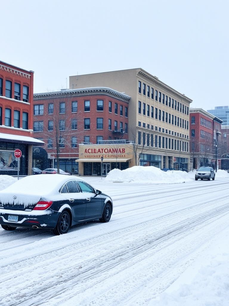
A major blizzard brings 12-24" of snow, 50-60 mph winds, and coastal flooding. States of emergency and travel bans are active. NYC schools are closed. Officials urge everyone to stay home.
Key takeaway
This comprehensive briefing details the coordinated response to a major blizzard impacting the New York and New Jersey region, forecasted to be a top-10 snowfall event for New York City. Key actions include declaring states of emergency, implementing travel bans starting at 9:00 PM, closing schools for a traditional "snow day" for the first time since 2019, and mobilizing extensive resources. Over 2,600 sanitation workers on 12-hour shifts, 700 salt spreaders, and more than 1,000 emergency snow shovelers are deployed. Critical threats extend beyond 12-24 inches of snow to include blizzard conditions with 50-60 mph wind gusts causing whiteouts, power outages, and moderate to major coastal flooding of 2.5-3 feet. The core conclusion is a unified message from all officials: for public safety, residents must stay home, avoid non-essential travel, and prepare for significant, multi-day disruptions to travel and services.
Eyewitness News Alert: Major Winter Storm
This is an Eyewitness News alert regarding a major winter storm. A blizzard warning is in effect for New York City for the first time in nine years, with additional warnings for Long Island and New Jersey. States of emergency have been declared in both New Jersey and a large part of New York.
Meteorological Forecast
Meteorologist Danny Beckram provides the forecast. The storm's brunt is expected from 7:00 PM to 7:00 AM. Snowfall is starting, with air temperatures at 32 degrees. Blizzard warnings cover the entire state of New Jersey, parts of the lower Hudson Valley, all of Long Island, and New York City's five boroughs.
Radar shows snow filling in, with widespread steady snow in northeast New Jersey and the five boroughs. Futurecast indicates scattered snow showers will become widespread and steady between now and 4:00 or 5:00 PM. By 7:00 PM, the brunt arrives. From sunset to sunrise, blizzard conditions are expected.
Expected Impacts
Snowfall expectations are a foot to two feet for most areas. Wind is a critical factor, with gusts close to the coast reaching 50-60 mph overnight. These conditions raise concerns for coastal flooding and power outages. Whiteout conditions will make travel dangerous or impossible. Snow will taper off by midday Monday, but wind will linger into tomorrow night, extending travel disruptions.
New York City Preparations and Directives
In New York City, Mayor Mom Donnie confirms public schools will have a snow day, the first traditional snow day since 2019. A travel ban is instituted from 9:00 PM until the emergency ends, closing streets to all non-essential traffic. The city is preparing with 700 salt spreaders and over 2,200 plowing vehicles. 2,600 DSNY workers are on 12-hour shifts, and over 1,000 emergency snow shovelers are mobilized. The city has activated Code Blue, with outreach workers making 86 placements to bring homeless New Yorkers inside last night. 22 warming buses, 11 hospital warming spaces, and 13 school warming centers are open.
Commissioner Christina Ferrell of NYC Emergency Management states the emergency operations center is activated with 50 agencies. They are monitoring conditions, supporting warming centers, and coordinating with utilities and the Port Authority.
Sanitation and City Services Response
The Sanitation Commissioner outlines the response. 2,600 workers are on 12-hour shifts. 700 salt spreaders are pre-positioned. They have nearly doubled the number of emergency snow shovelers to over 1,000. New tracking mechanisms are in place for clearing bus stops and crosswalks. Property owners are reminded they must clear a 4-foot path on sidewalks. Trash and recycling collection will be delayed.
School Closures and Warming Centers
The Schools Chancellor explains the decision for a snow day, citing the severe weather, spring break timing, and the inability to send devices home beforehand. A waiver was granted by the state. Thirteen schools are open as warming centers.
New Jersey State of Emergency
In New Jersey, Governor Mikey Cheryl declared a state of emergency for all 21 counties. New Jersey Transit buses will stop running at 6:00 PM, with trains stopping shortly after. A 35 mph speed limit takes effect on all highways at 3:00 PM.
Storm Timeline Reiteration
The meteorologist reiterates the timeline. The heaviest snow and strongest winds, creating blizzard conditions, will occur from sunset tonight through sunrise tomorrow. Snowfall rates of 1-2+ inches per hour coupled with 50-60 mph gusts will cause whiteouts. Snow tapers off mid-morning Monday, but wind impacts continue. Coastal flooding of up to 3 feet is possible at high tide.
Final Official Message
The final message from all officials is emphatic: This is a serious storm. Stay home, stay inside, and stay safe.
Frequently Asked Questions
Qany questions?
Please read the article carefully. If you have any questions, please contact [email protected].
Audio synthesized by Entity-Echo AI Agent